Arafion Internal Demo - Atlas GEOINT
A geospatial intelligence workstation prototype for visualizing incidents, entities, and corridors on an interactive map - with confidence scoring, evidence linking, and decision tagging.

Overview
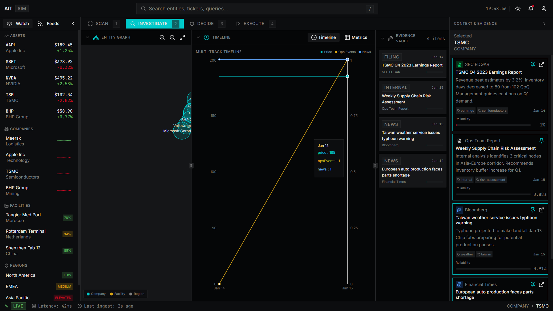
Atlas GEOINT is a geospatial intelligence workstation prototype for visualizing incidents, entities, and movement corridors on an interactive map. It was built to demonstrate Arafion's capability for OSINT and map-based decision support workflows.
The platform renders incident severity markers, entity layers, corridor overlays, confidence scores, and provenance data on a Leaflet map. A drill panel surfaces evidence linking, decision tagging, and an audit timeline — giving analysts the full context behind each data point.
What we built
Screenshots
The outcome
A geospatial intelligence prototype with layered incident visualization, confidence scoring, evidence linking, decision tagging, and an audit timeline — demonstrating capability for map-based decision support platforms.
Technical stack
More work
Want to build something like this?
Have a system, product, campaign, or visual experience that needs building?